Maps
Improve Accuracy and Speed with Integrated Google Maps
- Fully integrated with all windows used to book trips, enter riders, or enter stops
- Display flags showing locations: rider home addresses, stops, etc.
- Display flags showing origin and destination of trips being booked
- Important areas background colored: MCDs, Fare Zones, etc.
- Used to allow transit staff to set distance of trip for billing purposes
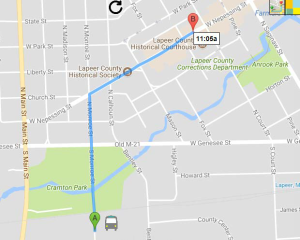
Example of a PCTrans map:

